 The following is a special contribution to this blog from the organizing committee of the Computing Community Consortium’s (CCC) visioning workshop on spatial computing — From GPS and Virtual Globes to Spatial Computing-2020 — held last Monday and Tuesday in Washington, DC. The committee summarizes some of the highlights of the workshop.
Spatial computing (SC) is a set of ideas and technologies that will transform our lives by understanding the physical world, knowing and communicating our relation to places in that world, and navigating through those places. The transformational potential of spatial computing is already evident. From virtual maps to consumer GPS devices, our society has benefitted immensely from spatial technology. We’ve reached the point at which a hiker in Yellowstone, a schoolgirl in DC, a biker in Minneapolis, and a taxi driver in Manhattan know precisely where they are, nearby points of interest, and how to reach their destinations. Large organizations already use spatial computing for site-selection, asset tracking, facility management, navigation and logistics. Scientists use GPS to track endangered species to better understand behavior, and farmers use GPS for precision agriculture to increase crop yields while reducing costs. Virtual globes (e.g., Google Earth, NASA World Wind) are being used in classrooms to teach children about their neighborhoods and the world in a fun and interactive way. Augmented reality applications (such as Google Goggles) are providing real-time place-labeling in the physical world and providing people detailed information about major landmarks nearby.
This is just the beginning.
 SC has transformative potential in many other areas. Logistics companies such as UPS are exploiting smarter routing decisions (e.g., avoiding left turns) to save over three million gallons of fuel and associated greenhouse gas emissions annually. Imagine the savings in fuel costs and greenhouse gases if other fleet owners (e.g., public transportation) and consumers utilized this technology. GPS navigation services are just beginning to experiment with providing eco-routes that aim to reduce fuel consumption, as compared to reducing distance traveled or time spent. The McKinsey Global Institute recently published a report estimating that “smart routing could have a global worth of about $500 billion by 2020” in terms of fuel and time saved.
While the transformative potential of SC is evident, the current research is scattered across many sub-disciplines, which is hampering progress. In order to address these issues, the Spatial Computing-2020 workshop was organized.
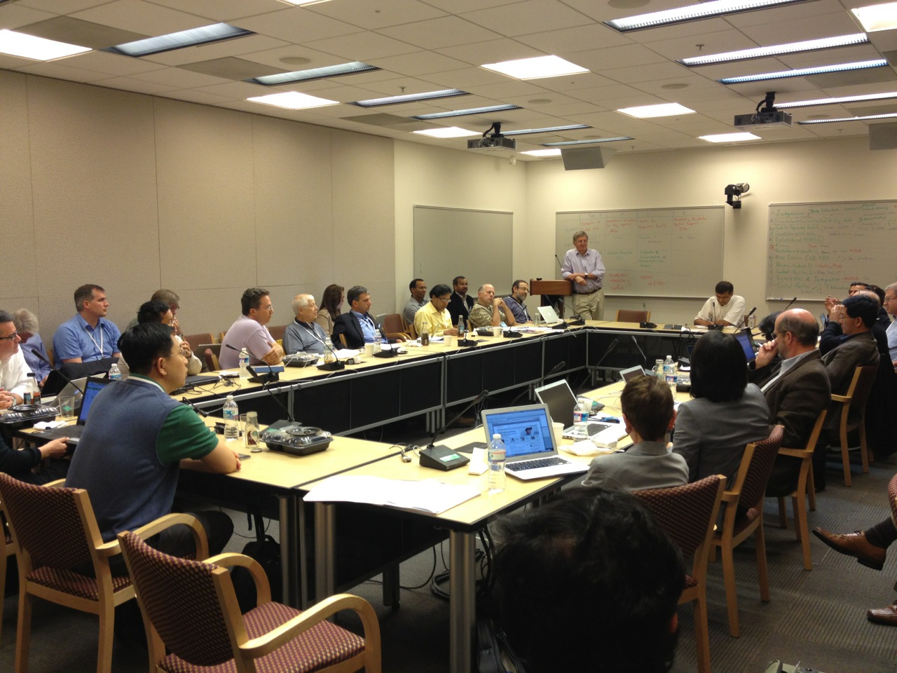 We were delighted to host the CCC visioning workshop From GPS and Virtual Globes to Spatial Computing-2020 at the National Academies’ Keck Center last Monday and Tuesday, where we sought to promote a unified agenda for spatial computing research and development across U.S. agencies, industries (e.g., IBM, Microsoft, Oracle, Google, AT&T, Garmin, ESRI, UPS, Rockwell, Lockheed Martin, Navteq, etc.), and universities. The workshop program exhibited diversity across organizations (e.g., industry, academia, and government), disciplines (e.g., geography, computer science, cognitive science, environmental science, etc.), topics (e.g, science, service, system, and cross-cutting), and communities (e.g., ACM SIGSPATIAL, UCGIS, the National Research Council’s Mapping Science Committee, etc.). (See the full list of participants.)
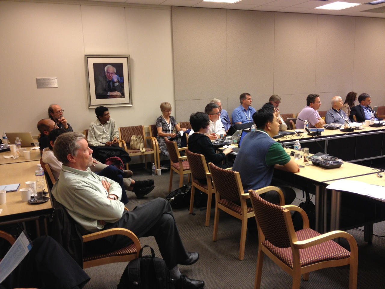 The program consisted of opening remarks from the CCC and National Science Foundation (NSF) during which spatial computing was defined, and community consensus and the challenges of diversity were articulated. There was a panel on disruptive technologies (graphics and vision, interaction devices, LiDAR, GPS modernization, cell phones, indoor localization, internet localization, and cloud computing) as well as a panel on national priorities [comprising officials from the Department of Defense (DoD), Department of Energy (DoE), Department of Transportation’s (DoT) Research and Innovative Technology Administration (RITA), National Institute of Environmental Health Sciences (NIEHS) within the National Institutes of Health (NIH), NASA, Department of Homeland Security (DHS) Science and Technology Direcotrate (S&T), and NSF’s EarthCube, and chaired by White House Office of Science and Technology Policy (OSTP) Senior Advisor to the Director Henry Kelly]. The program featured breakout sessions grouped by SC science, system, services and cross-cutting areas. The workshop concluded with a synthesis and reflection during which the success in bringing multiple disparate communities together was acknowledged and missing topics (e.g., national grid reference systems, measurement databases, etc.) were identified.
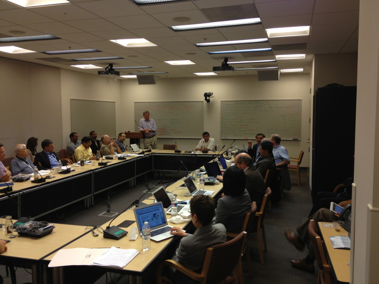 The Spatial Computing-2020 workshop identified (1) fundamental research questions for individual computing disciplines and (2) cross-cutting research questions requiring novel, multi-disciplinary solutions. Among the themes that emerged were the myriad roles spatial computing may play in our day-to-day lives in the year 2020, such as fantastic voyages through the brain, trustworthy peer-to-peer communication, intelligent transportation systems, and so on. Some of the key research challenges identified were spatial cognition, localization, navigation indoors and inside human body, etc.
Some of the highlights included identifying the key objectives, challenges, and transformative potential in several fundamental research questions for spatial computing as well as fostering a common understanding between several communities (e.g., resolving vocabulary differences, visioning, etc.). In his video to the participants (below), Google’s Vint Cerf touches on many of the exciting possibilities ahead in this space.






Trackbacks /
Pingbacks